The National Weather Service in Binghamton, New York, has issued a high wind warning that will be in effect from 4 p.m. today until 7 p.m. on Monday, February 17, 2025.
This warning covers several counties in the city, including Broome, Chenango, Cortland, Delaware, Madison, Onondaga, Otsego, Southern Cayuga, Southern Oneida, Sullivan, Tioga, and Tompkins.
Residents of Utica, Hamilton, Norwich, Owego, Oneida, Rome, Walton, Delhi, Oneonta, Monticello, Ithaca, Waverly, Cortland, Auburn, Syracuse, and Binghamton should be prepared for potentially hazardous conditions.
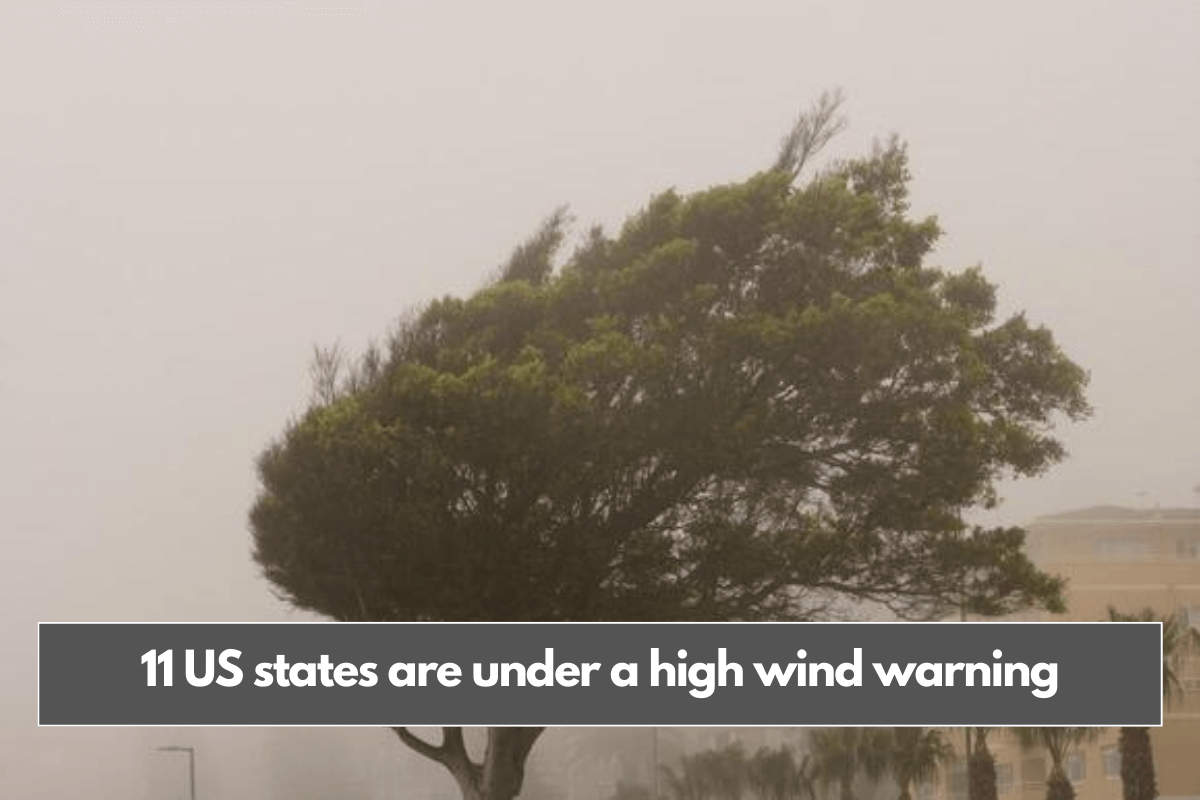
West winds are expected to reach 20 to 30 mph, with gusts up to 60 mph, potentially resulting in downed trees, power lines, and widespread outages. New York is not alone, as several other states issue similar warnings as the storm intensifies.
The affected states are North Carolina, Tennessee, Massachusetts, Pennsylvania, Virginia, West Virginia, Maryland, Vermont, Delaware, and New Jersey.
These states, including New York, are bracing for potentially damaging winds, which could disrupt daily life and create hazardous conditions. Travel can be challenging, particularly for high-profile vehicles. Residents should proceed with caution, keep an eye out for debris, and secure any outdoor objects.
Residents should stay indoors during high winds and postpone outdoor activities if warnings are issued. If you are outside, seek shelter, stay away from busy roads, and keep an eye out for flying debris.
Furthermore, stay away from downed power lines and contact emergency services. If a line falls on your car, stay inside unless there is a fire; then, jump out without touching the metal frame.
When driving, slow down, grip the wheel firmly, and keep an eye out for debris. High-profile vehicles are more susceptible to gusts. If conditions worsen, pull over away from trees, turn on your hazard lights, and wait for the winds to calm down.
Staying safe during high winds is critical, especially since the winter storm’s impact is expected to last until Monday, February 17, 2025.
Bob Oravec, a meteorologist with the Weather Prediction Center, stated that this is a “high-impact storm,” with the most severe conditions expected in the Northeast, where heavy snow may turn to sleet and freezing rain.
While precipitation is expected to ease along the East Coast by Sunday afternoon, the storm is far from over. Damaging winds with gusts up to 70 mph are expected to continue, as will persistent lake-effect snow over the Great Lakes, which could last until late Monday and possibly into Tuesday, February 18, 2025.
As the storm continues its path, New York is expected to experience strong winds on Sunday afternoon. Oravec observed, “Whenever there are high winds in a city, they funnel right down the buildings. It’s going to be quite windy.”
This cold air will prepare the way for another storm, which is expected to hit the Central Plains Monday night, the Mid-Atlantic by Wednesday, and the Northeast on Thursday.
Along with the strong winds, Arctic air from Canada will enter the Great Plains and south-central United States, bringing the season’s coldest temperatures.