A new weather system is bringing light snow across parts of Ohio, New York, Pennsylvania, Maryland, and Virginia today. While higher elevations will continue to see snow, most areas will experience a mix of wintry precipitation before transitioning to rain. However, this is just a preview of what’s to come next week, as weather models indicate the possibility of a significant Nor’easter.
Current Weather System & Its Impact
Today’s system will set the stage for a more powerful storm next week. As colder air moves in behind the cold front, temperatures will drop significantly. Even coastal areas of the Northeast and Mid-Atlantic will see daytime highs between 30-35°F (around 1-2°C), with overnight lows plunging to 15-20°F (-9 to -6°C). This sudden temperature drop will help establish the conditions needed for a major winter storm.
A Major Storm Brewing for Next Week
A new low-pressure system will develop over the Rocky Mountains and then dive deep into Texas before moving along the Gulf States. As it interacts with the jet stream, the storm is expected to turn up the East Coast, potentially developing into a strong Nor’easter.
At this point, the exact track of the storm is still uncertain, but early indications suggest significant impacts for the Mid-Atlantic and Northeast regions. Areas most likely to be affected include:
- Coastal North Carolina, Virginia, Maryland, Delaware, and Southern New Jersey – Expect possible snow, strong winds, and coastal flooding.
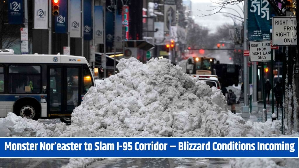
- New York, Pennsylvania, New Jersey, and New England – These areas could see the most heavy snowfall, with some regions potentially receiving 1-2 feet or more in the heaviest snow bands.
Potential Blizzard Conditions & Coastal Flooding
Along with heavy snow, strong winds could lead to blizzard or near-blizzard conditions in parts of the affected areas. With winds coming from the east-northeast (ENE), coastal flooding is also a concern, as the low-pressure system pushes water inland. This could result in enhanced tides and significant flooding along the coastline.
What to Expect & Stay Prepared
While the storm is still several days away, weather models like the Euro and GFS are increasingly suggesting a strong winter storm with the potential for:
- Heavy snow accumulations (1-2 feet or more in some areas)
- Strong winds leading to whiteout conditions
- Blizzard or near-blizzard conditions
- Coastal flooding due to high tides and wind-driven water
Since we are still 5-6 days away, there could be changes in the forecast, but the likelihood of a significant winter storm is increasing. If you live in the potential impact areas, now is the time to start preparing for possible heavy snow, strong winds, and travel disruptions.
A light snowfall today is just a preview of a much stronger storm that could impact the Mid-Atlantic and Northeast next week. As colder air settles in, a low-pressure system will move up the coast, potentially bringing heavy snow, strong winds, and coastal flooding. Some areas could see over 1-2 feet of snow, with blizzard-like conditions possible. Stay updated on the latest forecasts and prepare for a potentially significant Nor’easter.